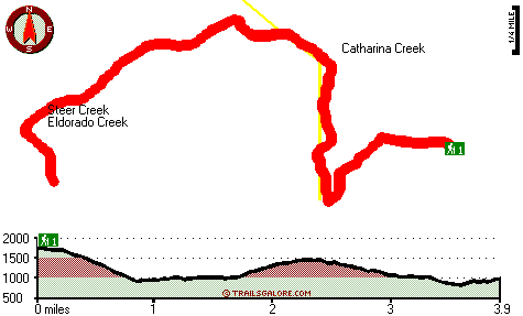
Steer Creek Trail Map
Steer Creek Trail main page
Zoom out if you can't see the trail on the map
Location of Trailhead: Latitude 34.4219, Longitude -119.4433
High quality water resistant topo map of Steer Creek Trail, Santa Ynez Mountains, Santa Barbara County, California.
Copyright © Stratus-Pikpuk, Inc.