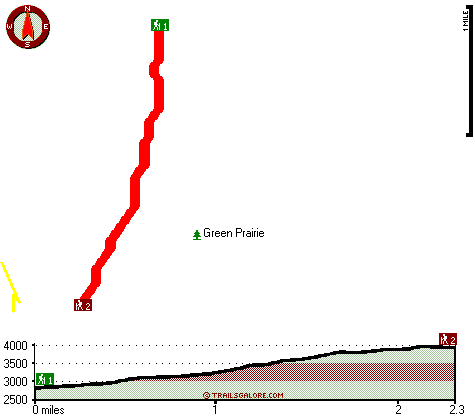
Billick Burn Trail Map
Billick Burn Trail main page
Zoom out if you can't see the trail on the map
Location of Trailhead 1: Latitude 42.9384, Longitude -122.7152
Location of Trailhead 2: Latitude 42.9076, Longitude -122.7238
High quality water resistant topo map of Billick Burn Trail, Southern Cascade Range, Douglas County, Oregon.
Copyright © Stratus-Pikpuk, Inc.