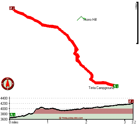
Tinta Trail Map
Tinta Trail main page
Zoom out if you can't see the trail on the map
Location of Trailhead 1: Latitude 34.7157, Longitude -119.4155
Location of Trailhead 2: Latitude 34.7425, Longitude -119.4508
High quality water resistant topo map of Tinta Trail, Sierra Madre, Ventura County, California.
Copyright © Stratus-Pikpuk, Inc.