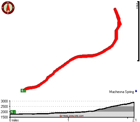
Machesna Trail Map
Machesna Trail main page
Zoom out if you can't see the trail on the map
Location of Trailhead: Latitude 35.2371, Longitude -120.2437
High quality water resistant topo map of Machesna Trail, Santa Lucia Range, San Luis Obispo County, California.
Copyright © Stratus-Pikpuk, Inc.