Lagunitas Fire Trail Map
Lagunitas Fire Trail main page
Zoom out if you can't see the trail on the map
Location of Trailhead 1: Latitude 37.9276, Longitude -122.6036
Location of Trailhead 2: Latitude 37.9449, Longitude -122.5909
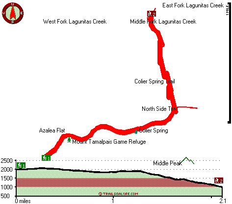
High quality water resistant topo map of Lagunitas Fire Trail, Marin County, California.
Copyright © Stratus-Pikpuk, Inc.