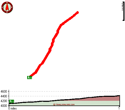
Boyer Trail One Hundred Fortyeight Map
Boyer Trail One Hundred Fortyeight main page
Zoom out if you can't see the trail on the map
Location of Trailhead: Latitude 33.8234, Longitude -111.0679
High quality water resistant topo map of Boyer Trail One Hundred Fortyeight, Mogollon Rim Mountains, Gila County, Arizona.
Copyright © Stratus-Pikpuk, Inc.